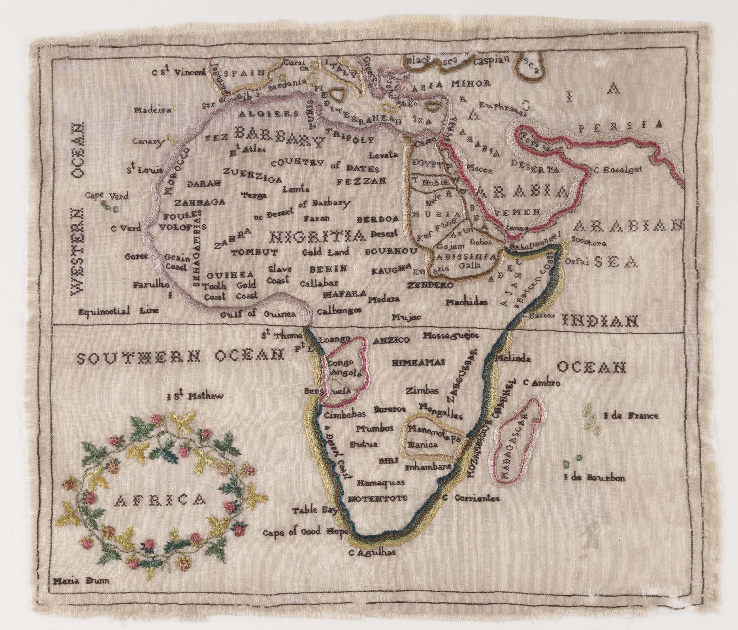
As European imperialism expanded the contents of the known world, women’s educational curricula—whether formal or informal—kept step with the influx of information. Embroidered maps like this one, made in England and the Americas from around 1770 to 1840, reinforced traditional feminine crafts like needlework as they introduced new understandings of the inhabited world. The task of embroidering maps was often dictated to girls in school as part of their formal study of geography, a standard subject during this time period. But women’s journals also encouraged readers to make their own embroidered maps, even supplying patterns for them to follow. Between 1776 and 1781, The Lady’s Magazine published five embroidery patterns for maps following a request from a governess who wished to use them as teaching tools so her pupils might better understand human history. One of those patterns may have inspired our embroidery.
Along with each map pattern, the magazine published explanatory essays. The companion text for the African map underscored the growing geographical importance of the continent: “Africa is the third part of the known and inhabited world. It was the rank which ancient geographers, both Greek and Latin, gave it, as being the most remote and least known to them . . . [T]he first division of the world was into two parts only, [namely] Asia and Europe.” The text also emphasized Africa’s strategic location “in the center” of global exchange networks with “a readier communication with Europe, Asia, and America, than any other quarter has.”
Nicole LaBouff
2024